
Sedimentation
Arising from community concerns about sediment in the Kanamaluka / Tamar estuary, the TEER Program undertook a comprehensive evaluation of options for sediment management in June 2021. The report was prepared by a wide range of scientific, industry, and policy experts. It includes a review of the natural processes influencing sedimentation, the function of mudflats, and the history of sediment management.

Background
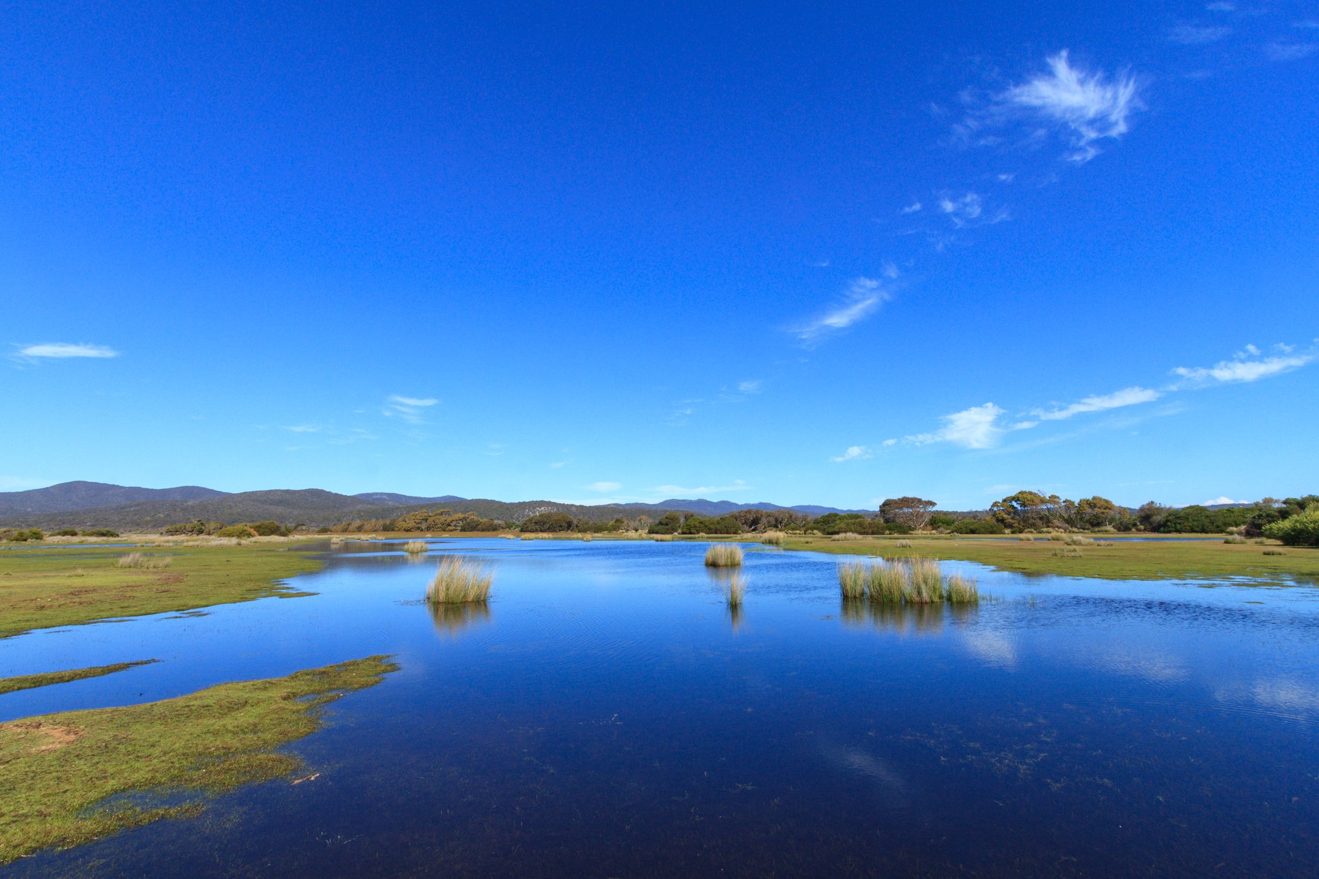
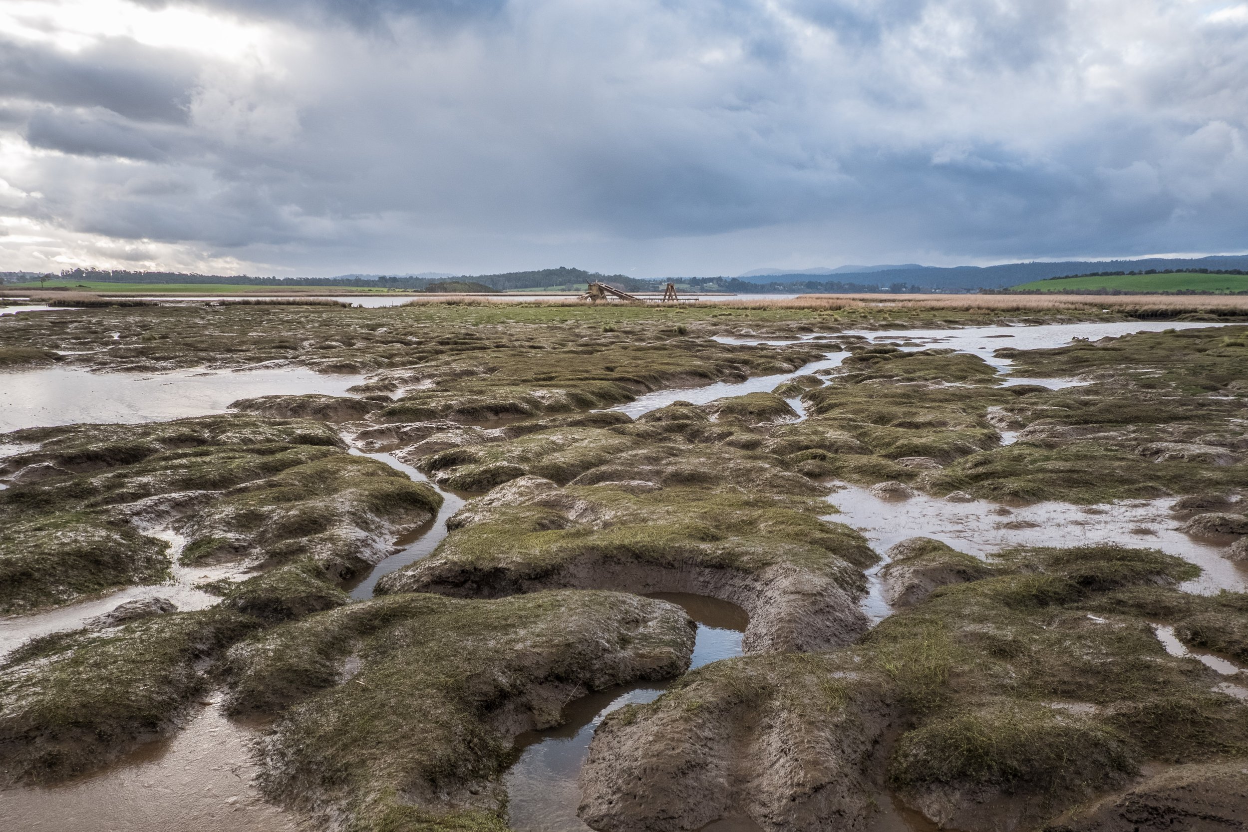
There is a common misconception that the mudflats along the banks of the Kanamaluka / Tamar estuary are a recent feature, and that the sediment is getting worse. However, the presence of extensive mudflats and wetlands around Launceston was noted in the accounts of the earliest European explorers and were shown on navigation maps from the 1830s.
Early accounts of the Kanamaluka / Tamar estuary describe the waterway upstream of Tamar Island as “very shallow with broad mud banks” and “only for small craft”. The naturally shallow and narrow channel led to community concerns about the navigability of the estuary, resulting in a petition to the Governor in the early 1830s to address the issue. Extensive dredging campaigns began in the 1890s and continued through until 1965 to allow larger ships to navigate to Kings Wharf in the upper estuary. Despite these efforts to reduce sediment, letters to the editor concerning the mudflats have featured in the Examiner newspaper for more than 100 years. Each time dredging activities ceased, sediment rapidly returned as the estuary reverted to a more natural state.
Environment, flooding and aesthetics;
sediment in the Kanamaluka / Tamar estuary.
The Tamar Estuary Management Taskforce commissioned the TEER Program to undertake a comprehensive evaluation of options for sediment management in June 2021.
